⛰️ Etang de la Coumette
Altitude 2250 m - Superficie 1.2 ha - Profondeur 10 m -
Poissons: TF
Départ : Merens depuis la centrale
Massif : Pic d'Auriol 2695 m
Parcours :
Montée 3h30 -
Forêt Domaniale de Mérens
Discussions sur le forum : - Auriol par Grat Casal - Etang d'Auriol
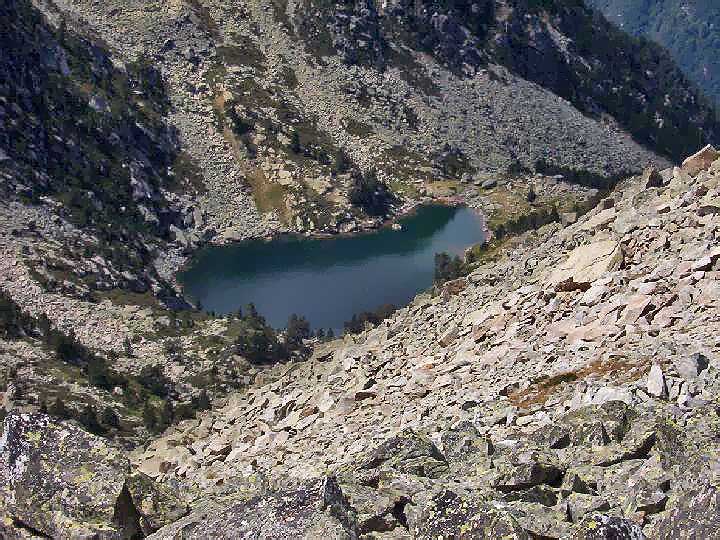
Etang d'Auriol

photo aout 2007 d'après Cédric
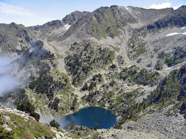
L'Auriol en septembre

photo Septembre 2005 d'après Olive
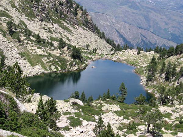
Etang d'Auriol

photo Juillet 2006 d'après Paillagousti
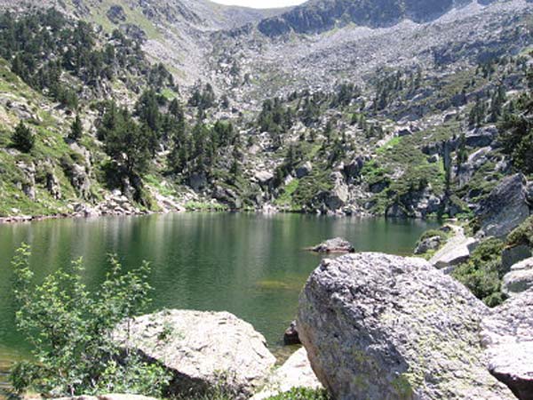
Etang d'Auriol

photo Juillet 2006 d'après Paillagousti
Autres photos:


